202 km | 274 km-effort
parcours CP CE
colettedeltour
User
Length
6.1 km
Max alt
802 m
Uphill gradient
226 m
Km-Effort
9.1 km
Min alt
627 m
Downhill gradient
227 m
Boucle
Yes
Creation date :
2019-09-27 00:42:32.886
Updated on :
2019-09-27 00:43:38.768
1h38
Difficulty : Medium
FREE GPS app for hiking
About
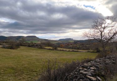
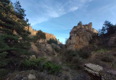
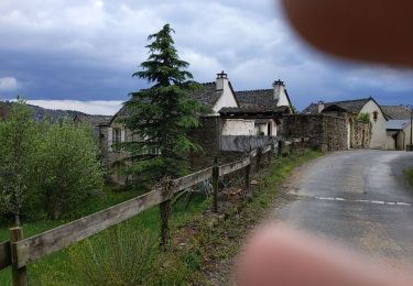
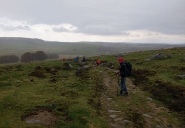
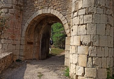
Trail Walking of 6.1 km to be discovered at Occitania, Lozère, Bourgs sur Colagne. This trail is proposed by colettedeltour.
Description
Chirac, le truc de la Fare
Positioning
Country:
France
Region :
Occitania
Department/Province :
Lozère
Municipality :
Bourgs sur Colagne
Location:
Unknown
Start:(Dec)
Start:(UTM)
521150 ; 4930254 (31T) N.
Comments
Trails nearby
rando trail 640 pont de monvert
Motorbike
Medium
(1)
Marvejols,
Occitania,
Lozère,
France
6h 15min
Yes
Marvejols/Valadou
Walking
Easy
Marvejols,
Occitania,
Lozère,
France
10.4 km | 14.1 km-effort
3h 10min
Yes
Truc de st bonnet
sport
Very easy
Marvejols,
Occitania,
Lozère,
France
14.4 km | 20 km-effort
Unknown
No
Prades montagne fendu
Walking
Medium
Palhers,
Occitania,
Lozère,
France
6.1 km | 9.7 km-effort
1h 59min
No
Fait GTMC 2022 E11 Bigose
Mountain bike
Medium
Marvejols,
Occitania,
Lozère,
France
55 km | 71 km-effort
7h 22min
No
plateau de lacham
Walking
Very easy
Marvejols,
Occitania,
Lozère,
France
4.4 km | 5.5 km-effort
1h 12min
Yes
Chemin de: Le Villard
Walking
Very easy
Les Salelles,
Occitania,
Lozère,
France
6.5 km | 7.9 km-effort
1h 48min
Yes